

What’s New in Intelligent Vision
Updates and new releases at Unleash live

GEOGRAPHIC CONTEXT
Collaborative Drone Missions with Autofly Pin Drop
Available in Unleash live’s Autofly, this feature allows pilots to place a point of interest by dropping a pin from Fusion Atlas, a digital asset map, during drone flight missions. This feature offers three options for dropping pins, providing pilots with the flexibility to choose the best option depending on their situation. These include creating pins from
the current drone position
the laser range finder (only available on certain drones), or
manually by the pilot using the map and inbuilt overlays
The pins are automatically synchronized to the Unleash live’s Fusion Atlas, which is visible as a geographic layer. Overall, this is a game-changer for drone flight missions, allowing pilots to capture more precise location data and enhancing real-time collaboration with the command center and field screws.

REPORTING
Streamline your analysis process with the annotation summary and filter feature
The Annotation Summary and Filter feature is a powerful tool that enhances the efficiency of asset inspection. After an asset has been annotated, whether manually or by A.I., users can now summarize the annotation results for a folder or set of images. They can then filter these annotations based on annotation type, faults and severity of faults before exporting them to a pdf report, CSV file or JSON.
This feature is especially useful in identifying critical issues quickly and streamlining the analysis process. With the Annotation Summary and Filter feature, asset inspections become more efficient and effective.
Learn to summarize annotations:
MEDIA DRIVE
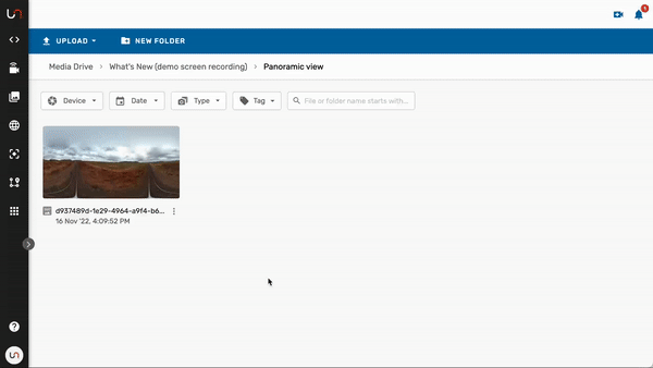
Explore every detail with Media Drive's 360-degree Panoramic Image Viewer
How can you experience a realistic perspective of any location? Introducing the innovative Panoramic Image Viewer - a feature that enables users to do just that.
By uploading panoramic images to Media Drive, Unleash live’s media management platform, and adding them as a layer in Fusion Atlas, a digital asset map, users can easily view and analyze panoramic photos. The viewer lets users pan around and zoom into the image, enabling them to explore every detail with ease. Additionally, the viewer allows users to switch to full-screen mode for a more immersive experience.
With the Panoramic Image Viewer, users can gain a comprehensive understanding of the location, empowering them to make informed decisions that enhance the quality of their visual inspections.
Explore past releases below

2023 Release #1
Side by side image comparison slider
Rapid organization of power lines inspection images by asset geolocation
SafetyCulture’s iAuditor Inspections integration

Ready to get started?
See how Unleash live can help you automate workflows and reduce costs