Release v2.1: Galveston Island
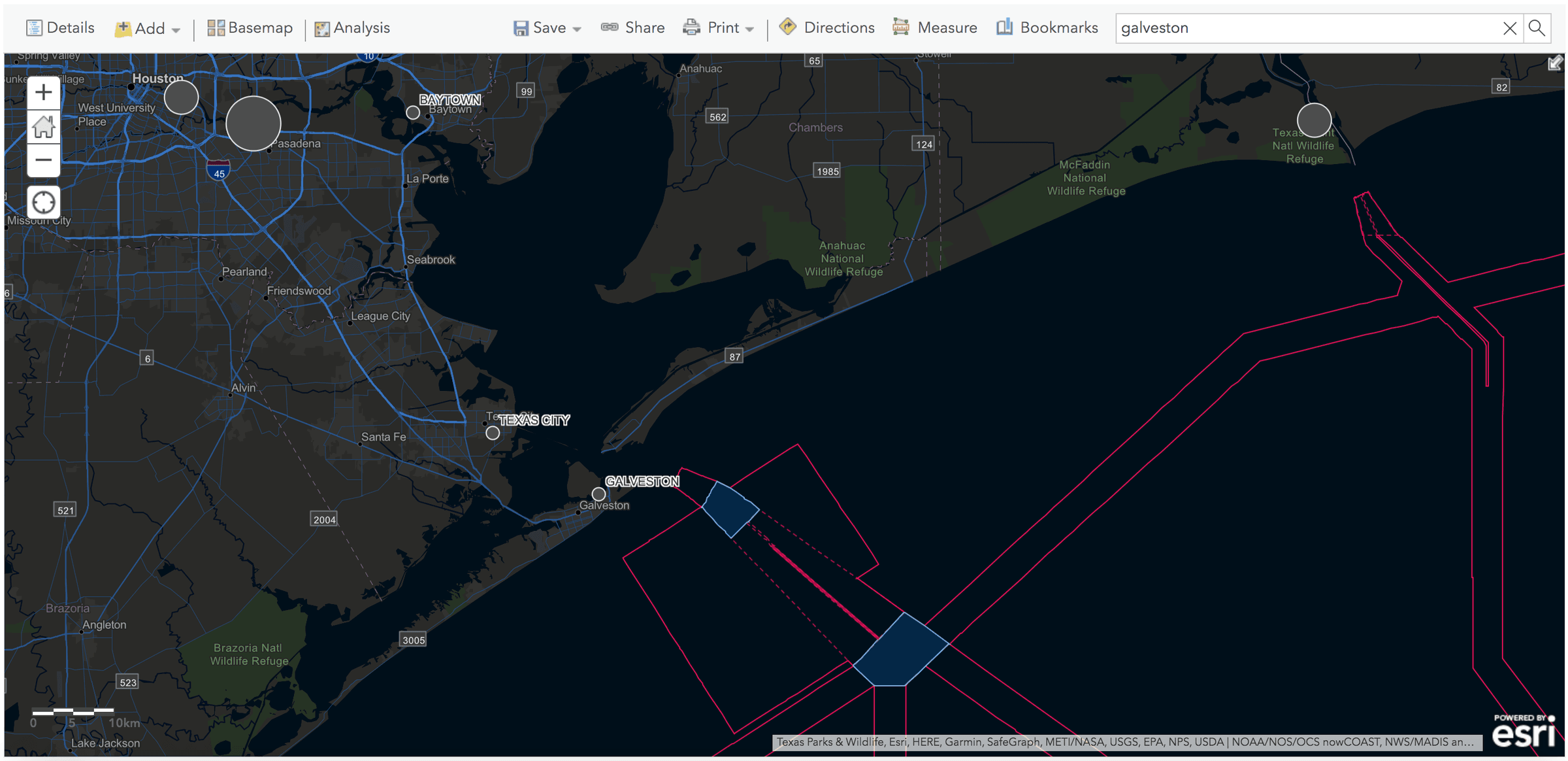
Release v2.1: Galveston Island
Today we are excited to share more of our vision and what we will be releasing over the course of the year.
This new release in Q1 2020 has been shaped by the invaluable feedback we have received from our smart cities and infrastructure customers on how to further improve their workflow efficiencies.
Expanding on our core features, we continue to extend the list of capabilities to suit enterprise customers and stay true to delivering on user needs and experiences.
And with that, we want to highlight new features and improvements contained in Unleash live Release v2.1, named after Galveston Island.
Feel free to try it out for yourself at https://cloud.unleashlive.com
Updates in this release:
Get started now with a free trial
Secure Library:
- File and folder management to better rename, move, group and organization of media content
- Google Drive integration for quick and simple import of files from Google Drive account straight into Unleash live
Fusion Atlas:
- Improved Layer management — users can now organize, rename, move and group Orthomosaics, annotations, and imported data layers, making comparisons and assessments easier and geospatially relevant
- Quick Locate — quickly navigate to the geolocation of models and data layers
- Enhanced Zoom — view Orthophoto maps with higher precision and accuracy with extra levels of zoom on map to view high-resolution Orthomosaics down to 2 cm/px detail
AI Apps:
- Further custom A.I. models launched, such as the world-class Wind Turbine Blade Fault Detection A.I. or Vegetation Encroachment Analysis for Right of Way management
- Image and Video Labelling tool for fast A.I. model training launched
Integrations:
- Detected outcomes from A.I. analysis can now be displayed in Slack, MS Teams, Salesforce, and ESRI ArcGIS — with more 3rd party integrations to come. Contact us for your custom integration requests.
- Live vision analytics data can now be visualized and displayed in ESRI ArcGIS in real-time, a world first.
- Live Sync of your Orthomap data from Unleash live with your ESRI ArcGIS account to view the high-resolution Orthomap tiles in your ERSI workflow
Other fun stuff:
- We built out the Profile page so users can monitor and manage streaming and AI usage
- Point cloud model volumetric measurements have arrived!
- Check out how to integrate your LiDAR Las data for viewing on Unleash live
- Fully upgraded to Angular 8 front-end infrastructure with additional security and 17% faster load times
- Many other bug fixes and performance improvements. Thank you for your feedback.
Check it out at https://cloud.unleashlive.com
Please continue to send us your feedback as we continue to build the best real-time A.I. analytics experience.
Sign up to our newsletter and stay up to date with the latest developments
Innovation is at the heart of everything that we do. The team are working on exciting experiences brewing in our labs which you can get a glimpse of right in your Unleash live account, go and log-in to find out more.
Get Started with Unleash live
Visit unleashlive.com to start your free trial or book a time with one of our specialist team members to learn how your business can take advantage of live streaming video and A.I. analytics

